01
Residential sectors
Sectors A to P, each laid out with plots from 5 Marla to 2 Kanal.
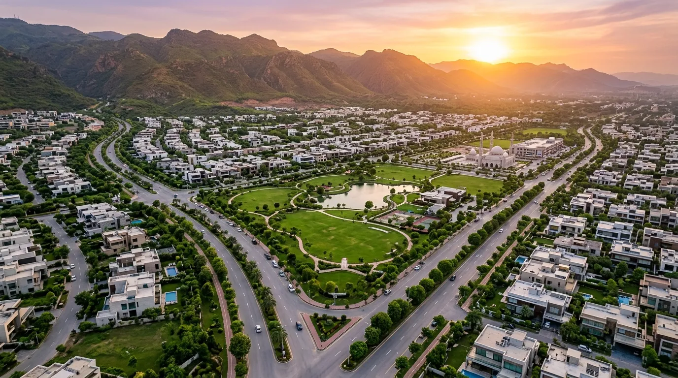
See how the phase is laid out — sectors, commercial zones, green spaces and connectivity.
Zoom and pan to explore DHA Phase 5 Islamabad and its surroundings.
DHA Phase 5 brings homes, commerce, green space and community facilities together in one master plan.
Sectors A to P, each laid out with plots from 5 Marla to 2 Kanal.
Designated commercial areas for retail, dining and everyday services.
Landscaped parks, jogging tracks and green belts woven through the phase.
Mosques, schools and healthcare facilities planned across sectors.
Open a sector guide for its plot sizes, highlights and availability.
Direct access to the Islamabad Expressway and GT Road puts the airport, Blue Area and major hospitals and universities within easy reach.
Explore places nearby